
.webp?language=en-US)

.webp?language=en-US)
Tangier Island Watermen Working Landscape
Lincoln Landon Lewis, Student ASLA; William Packwood

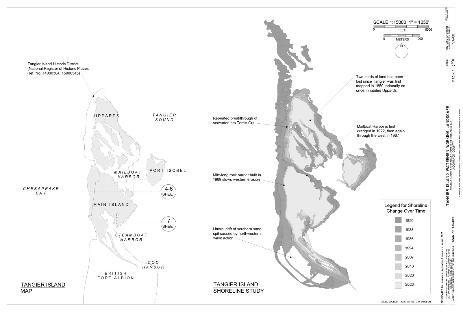
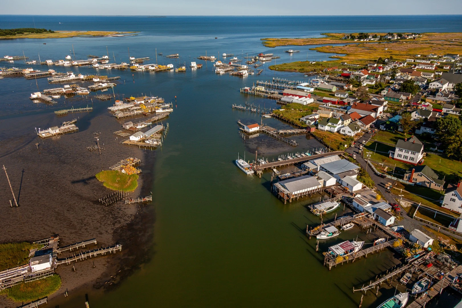
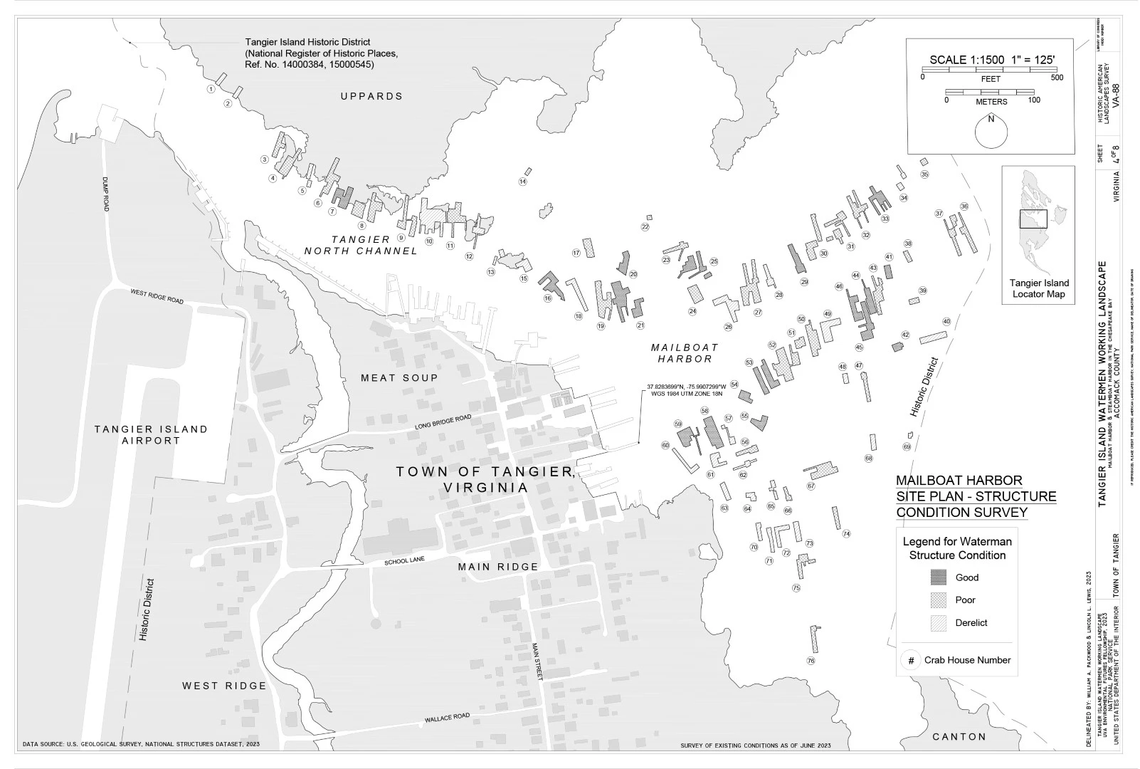
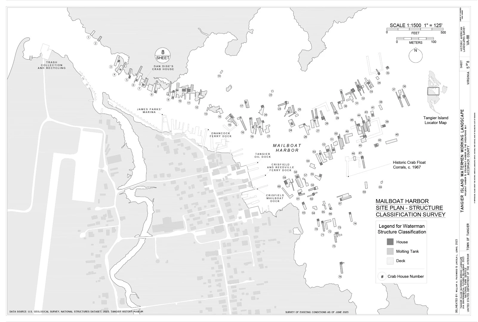
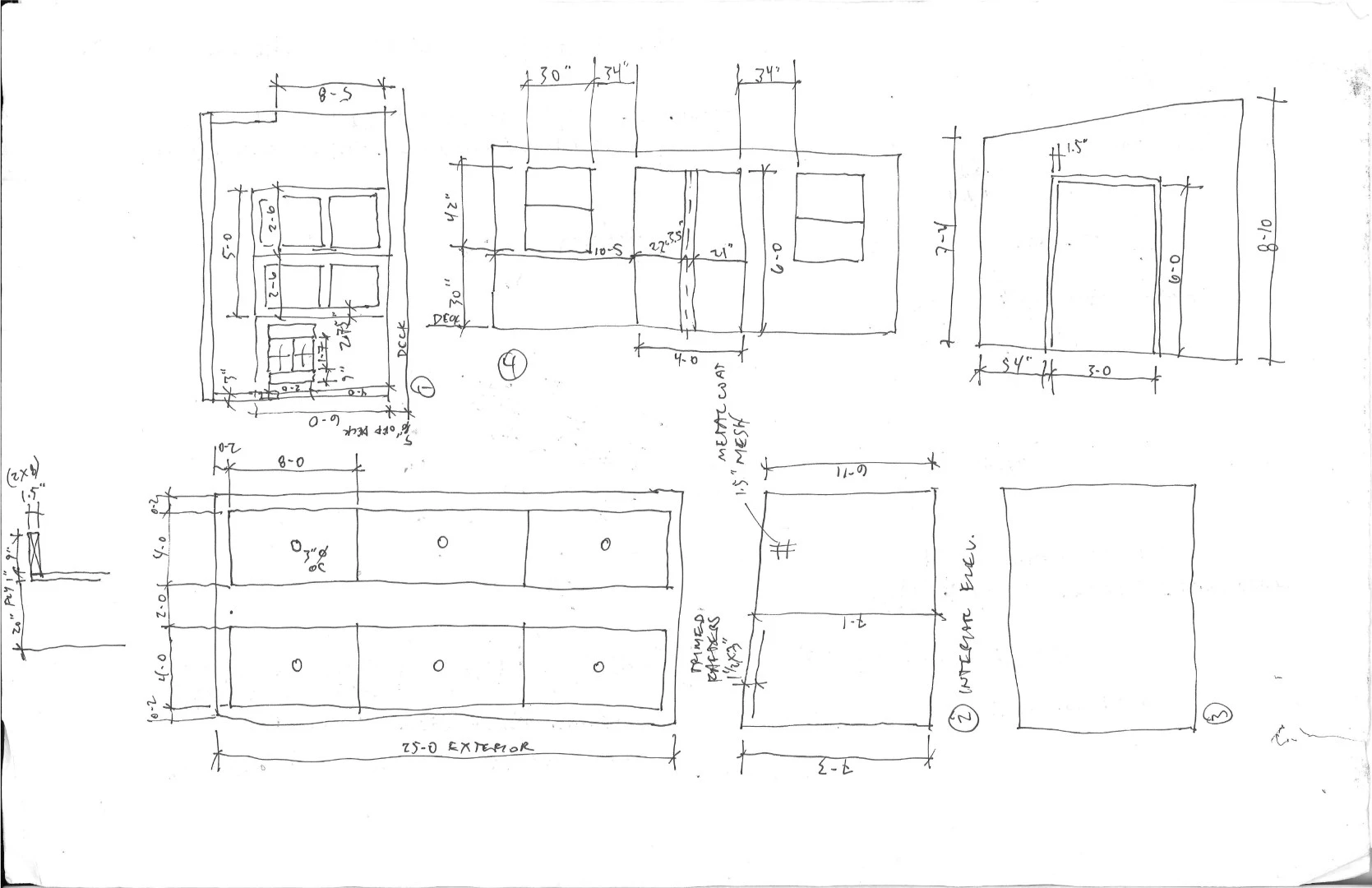
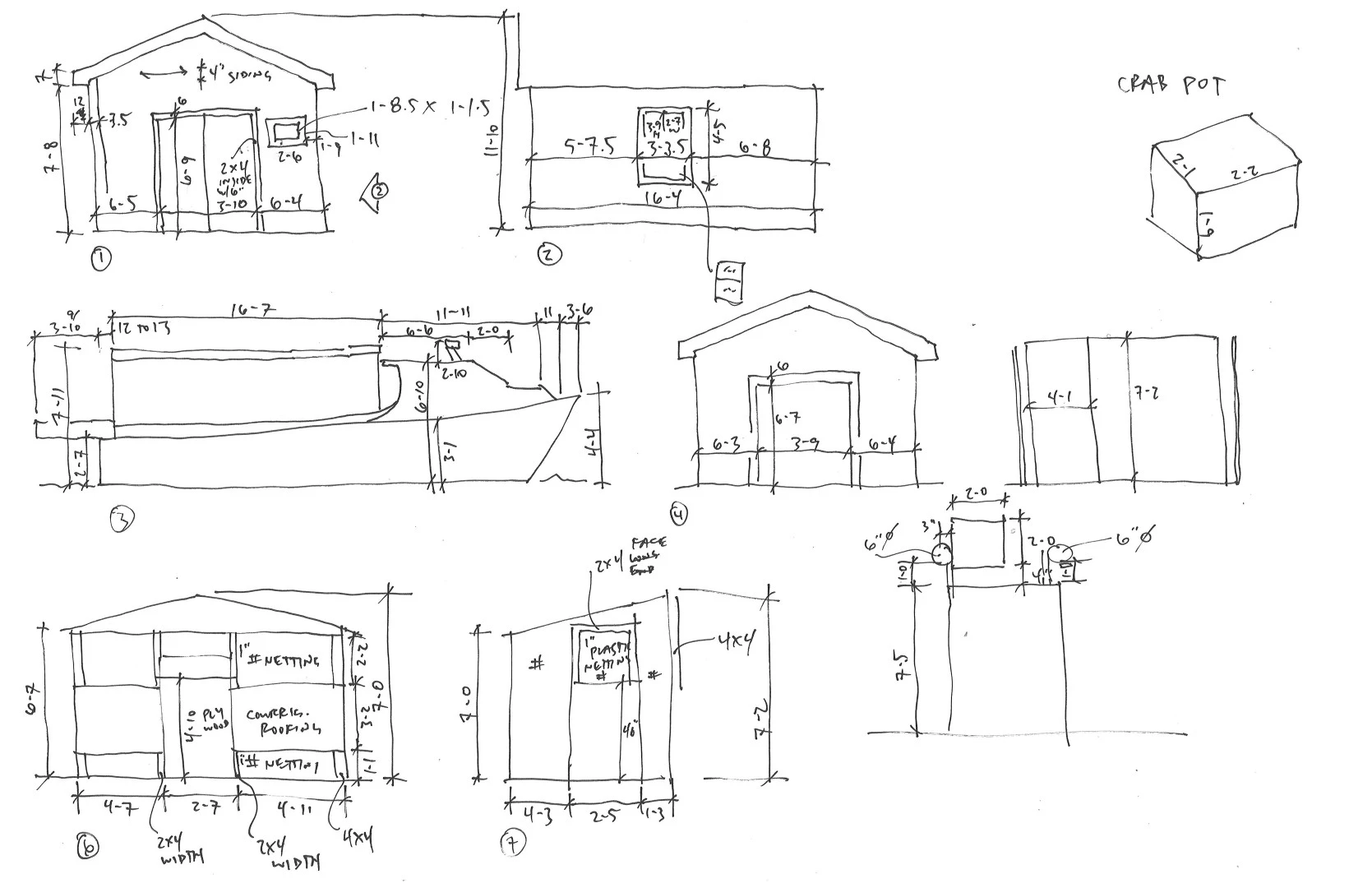
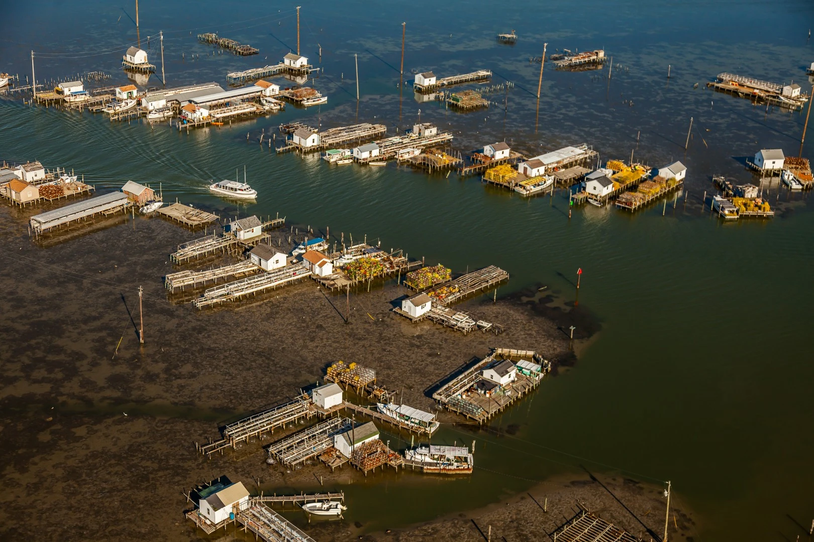
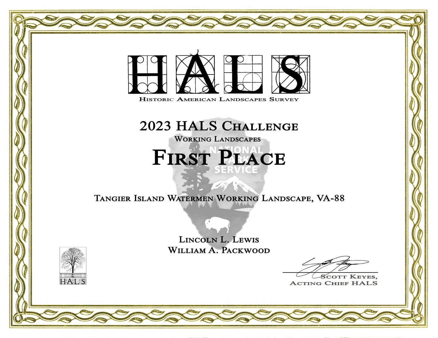
Beautiful drawings and detailed research
Awards Jury
-
Tangier is the last community in Virginia's portion of the Chesapeake Bay. The remote island has a recorded history dating back to the 1600s and relies on the unique working landscape of the watermen to catch blue crabs. However, the island's tangible and intangible history faces existential risk due to dynamic environmental change. The student team documented the working landscape for the Historic American Landscapes Survey (HALS) Challenge and won first prize. Unique fieldwork methods were developed for analyzing this tidal landscape in addition to the laser scanning of structures and oral history interviews of community members. National Park Service staff credit the submission for expanding the definition of American working landscapes.
-
Tangier is the last community in Virginia's portion of the Chesapeake Bay. The remote island with 300 residents has a recorded history dating back to the 1600s and relies on the unique working landscape of the watermen to catch blue crabs. Because of this, Tangier is known as the soft shelled crab capital of the world.¹ However, the island's tangible and intangible history faces existential risk due to dynamic demographic and environmental change happening to the island due to erosion caused by wave action, geologic subsidence, and tidal flooding. A majority of residents do not attribute climate change as a cause. Nevertheless the cause, these impacts have made Tangier one of the most threatened landscapes on the eastern coast of the United States.²
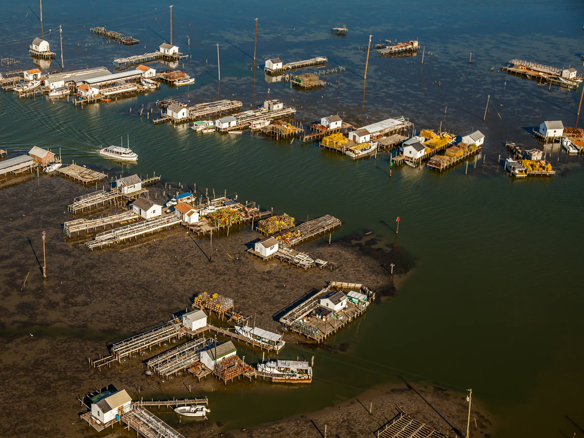
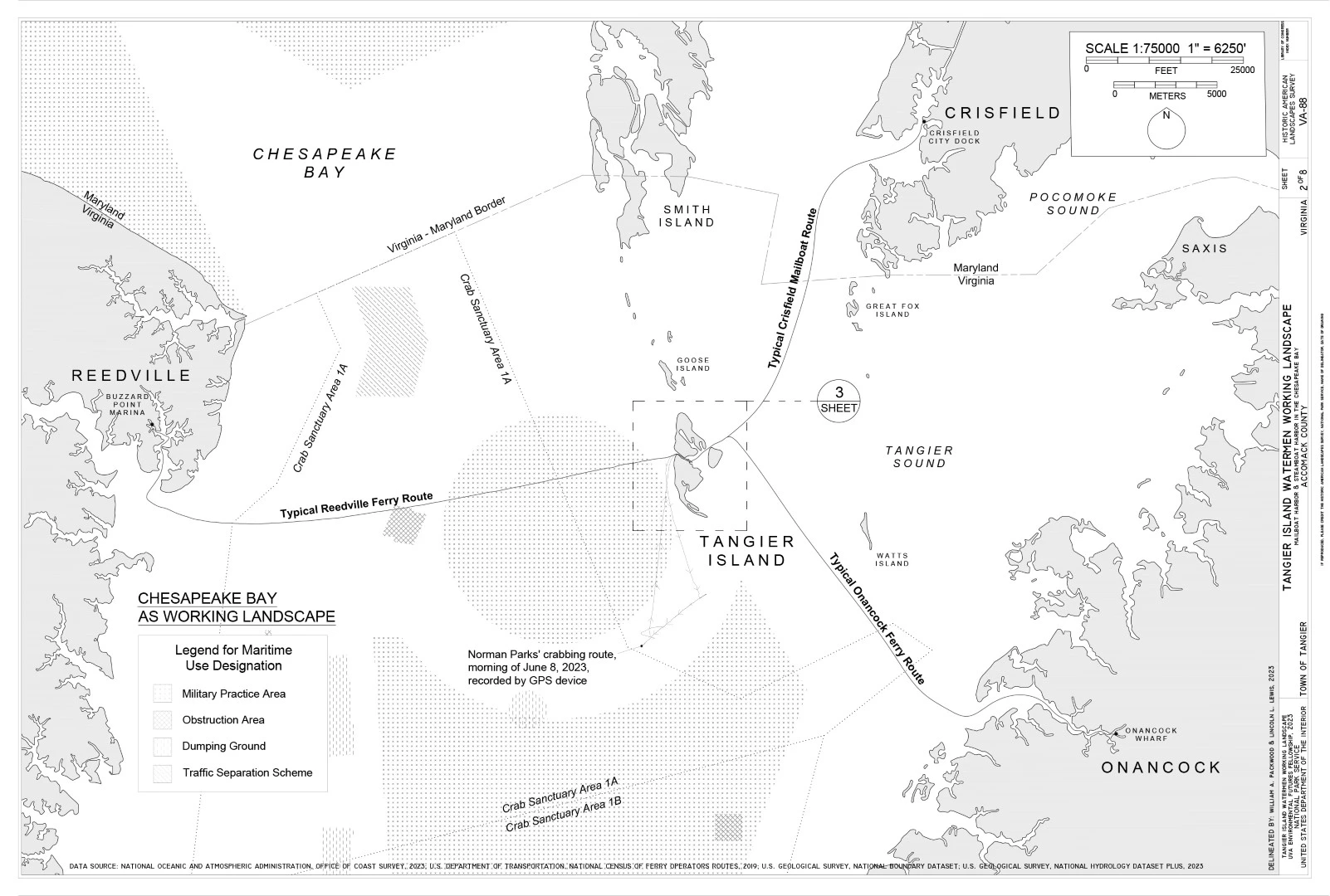
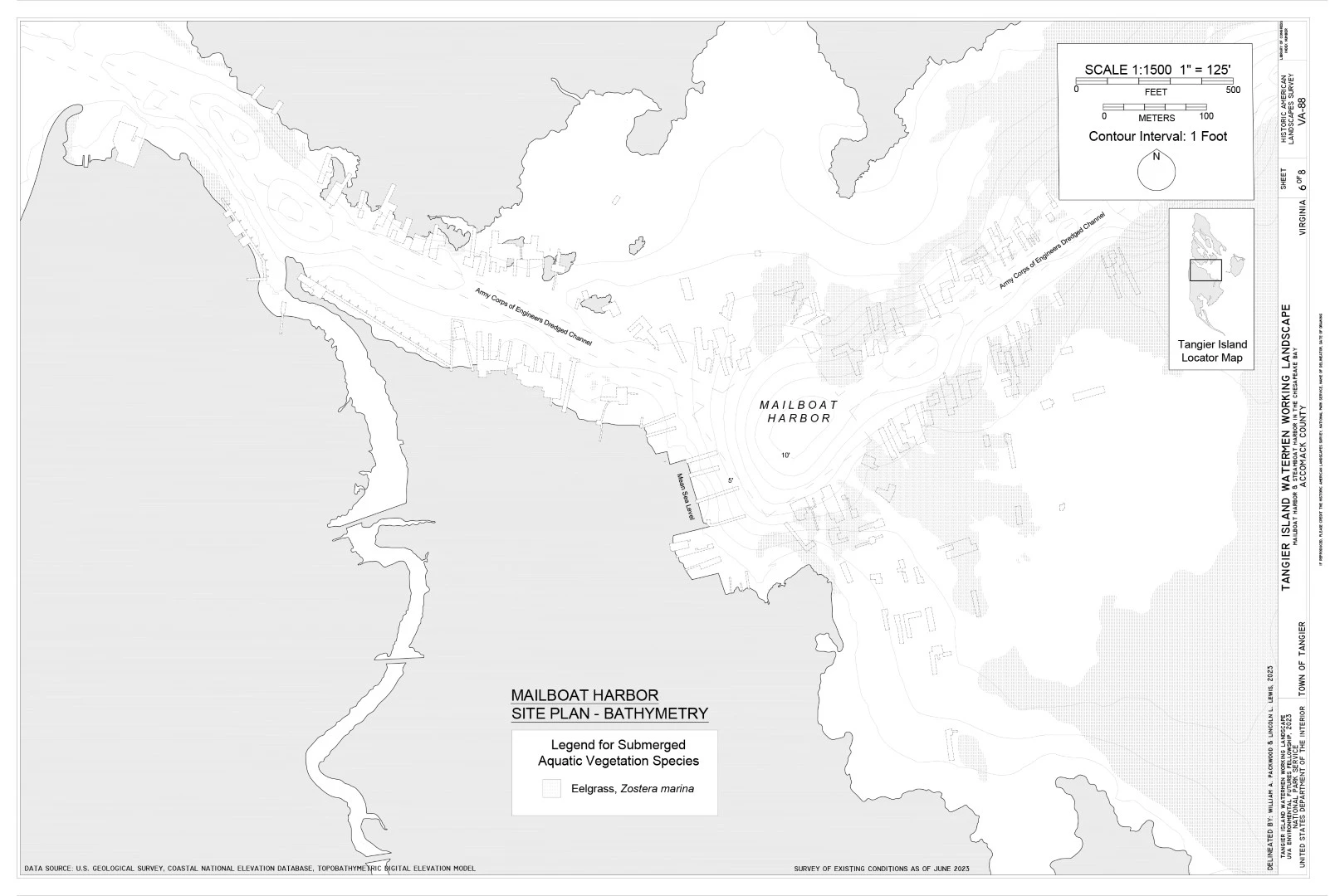
Tangier Island is made up of three low-lying islets surrounding Mailboat Harbor. In this area the watermen have their vernacular "crab houses". These houses are suspended over tidal water and form a unique architectural typology to enable the crab molting process. From these structures the watermen go out on their boats into the wider bay to check their crab pot traps and gather their catch. However, an early insight from this research was that these important structures were captured in the state's historic resources inventory of Tangier.³ This demonstrated an important gap to be urgently filled.
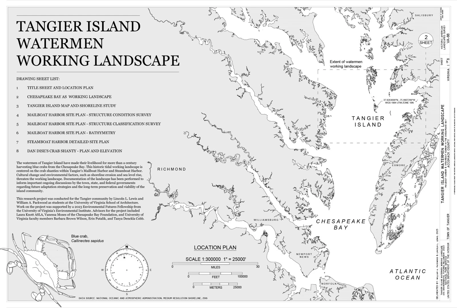
The students began their research during the summer of 2023. Subsequently the project won first place in the National Park Service's Historic American Landscapes Survey (HALS) Challenge – an annual competition open to both seasoned professionals and students.⁴ That year's theme focused on working landscapes. The Tangier documentation project was impressively credited by the National Park Service with expanding the definition of working landscapes in the United States.
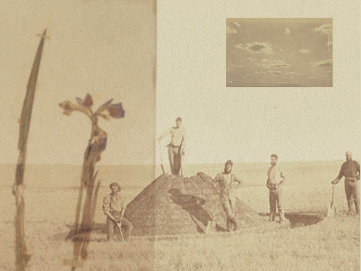
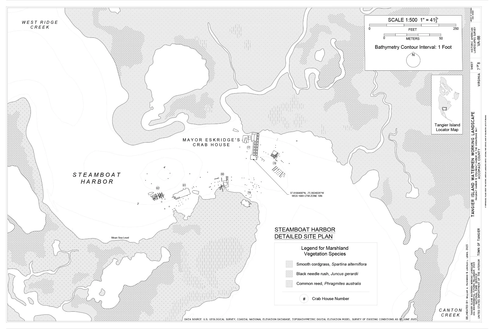
Unique fieldwork methods were developed to analyze the tidal landscape, including using kayaks to ply the water and bathymetry to understand the underwater topography and dredged landscape. Archival research at museums was conducted and a spatial inventory of submerged aquatic vegetation (eel grass) and three marsh grasses was also completed.
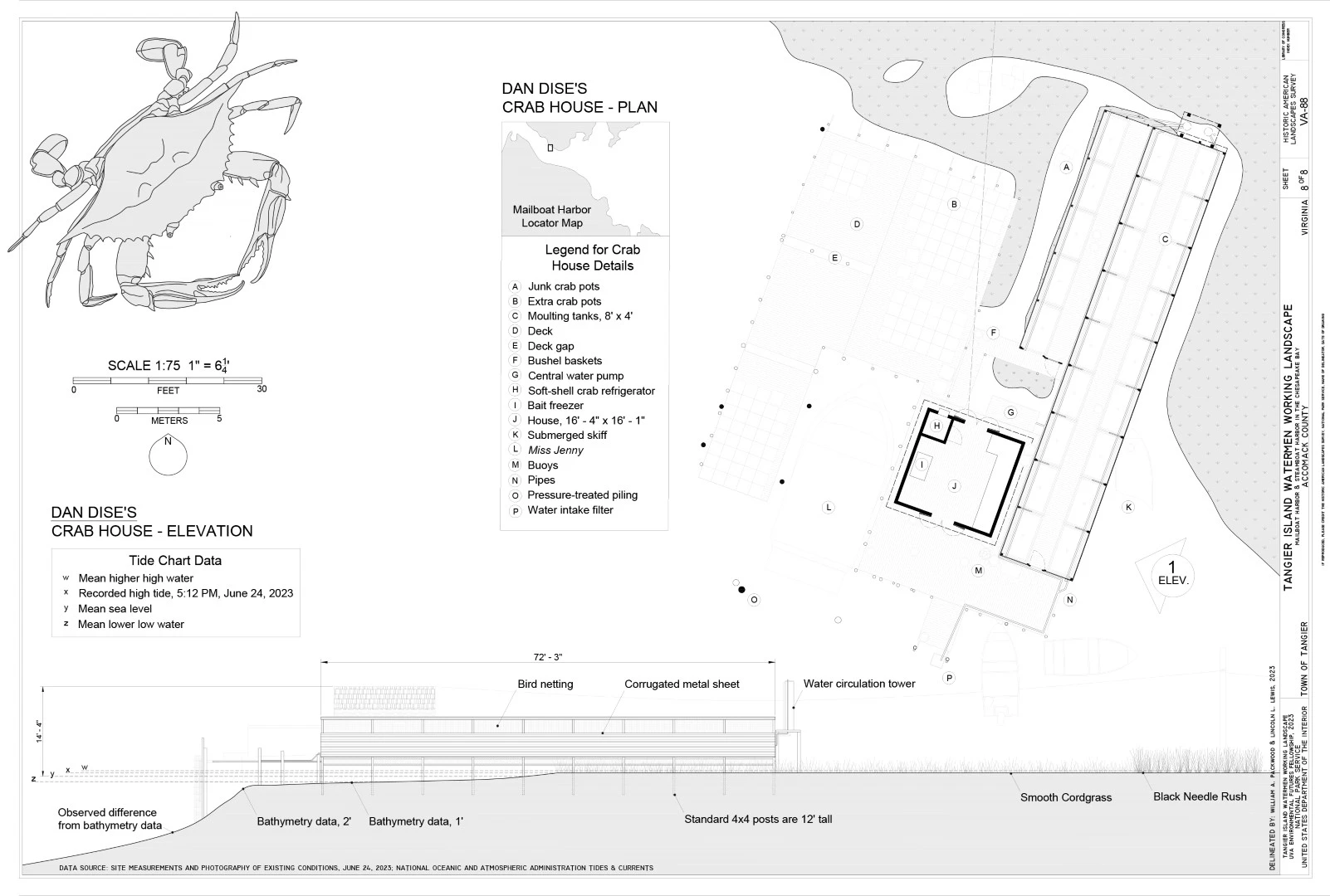
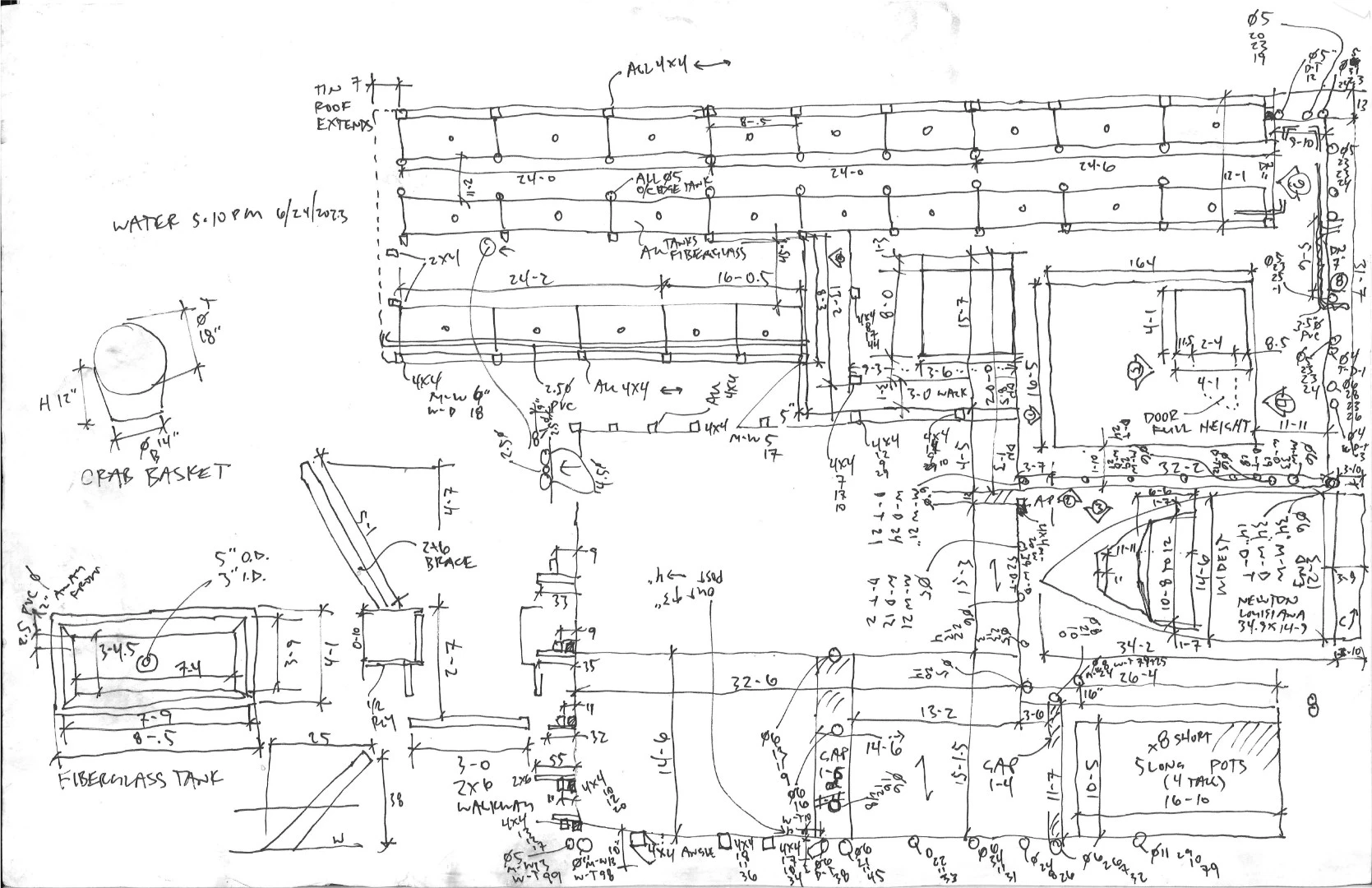
The project utilized nested drawing scales to capture the working landscape. In total 82 crab houses were documented and their conditions analyzed. Three of those structures were measured in excruciating detail. The research substantiated that the houses were not considered historic because elements were periodically destroyed due to storms or gradual biofouling and rot and did not reach 50 years of age. However, the research demonstrated that elements of the structures were indeed that age or greater.
Since the students' initial research during the summer of 2023, they have continued to document Tangier Island with materials which are included in this submission. These methods have comprised laser scanning the landscape and the interior of the community museum. Oral history interviews were also conducted to capture intangible aspects of the landscape and record the construction methods of the crab houses.⁵
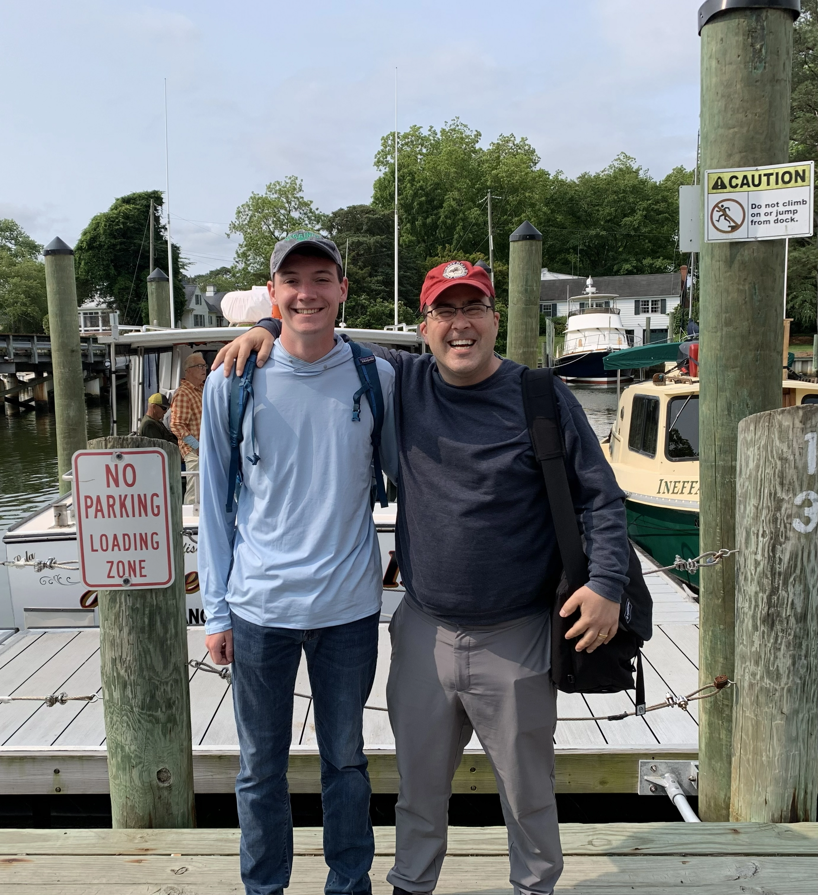
Importantly, the students carried out extensive engagement activities and built strong connections with Tangier's residents in this close-knit community. One of the students has moved to the island for his dissertation research focusing on how coastal communities - especially those with historic cultural landscape assets - plan for the future amidst dynamic environmental change.⁶
-
- Laura Knott, ASLA (Advisor ASLA Virginia HALS Chapter Liaison)
- Vanessa Moses (Advisor, Chesapeake Bay Foundation)
- Katy Clune (Virginia Humanities, Virginia Folklife Program)
- Gordon Campbell (Photographer, At Altitude Gallery)
- Bill Heline (Volunteer Logistics Assistance)
- Paulette Heline (Volunteer Logistics Assistance)
- Irene Arifin (Volunteer Logistics Assistance)
- Eleanor Lewis (Volunteer Logistics Assistance)
- Brookelyn Mitchell (Funding Supervisor)
- Robin Carleton (Transcriber)
-
- Black Needle Rush (Juncus Gerardii)
- Common Reed (Phragmites Australis)
- Eelgrass (Zostera Marina)
- Smooth Cordgrass (Spartina Alterniflora)
-
References
The following reference information is available via this link: https://bit.ly/TangierIslandWatermanWorkingLandscape
Historic American Landscapes Survey (HALS) Short Format Report for the Tangier Island Waterman Working Landscape Summary report: HALS documentation, oral histories, laser scanning, and dissemination activities Mayor James Eskridge example oral history transcript Vanessa Moses example oral history transcript Oral histories sample audio file Example dissemination presentations
Sources
- Chillrud, R. 2018. “Getting the Perfect Soft-Shell on Tangier Island.” Chesapeake Bay. March 30, 2018. www.chesapeakebay.net/news/blog/getting-the-perfect-soft-shell-on-tangier-island.
- Schulte, D.M., K.M. Dridge, and Mark H. Hudgins. 2015. “Climate Change and the Evolution and Fate of the Tangier Islands of Chesapeake Bay, USA.” Scientific Reports 5 (1): 17890. https://doi.org/10.1038/srep17890.
- Richards, L.A., and J.P. Cooke. 2013. “National Register of Historic Places Registration Form: Tangier Island Historic District.” www.dhr.virginia.gov/wp-content/uploads/2018/04/309-0001_ TangierIslandHD_2014_NRHP_FINAL.pdf.
- Lewis, L., and W. Packwood. 2023. “Tangier Island Watermen Working Landscape.” National Park Service, Historic American Landscapes Survey. VA-88.
- Clune, K., and J. Taylor. “Documenting a Critical Moment on Virginia’s Eastern Shore.” Virginia Folklife Program, Virginia Humanities. www.virginiafolklife.org/sights-sounds/documenting-a-critical-moment-on-virginias-eastern-shore/.
- Lewis, L. 2027 (forthcoming). Change in the Chesapeake: Community Decision-Making in a Dynamic Coastal Environment. Dissertation. Charlottesville: University of Virginia.
Advertisement
Related Awards
Honor Award, Research
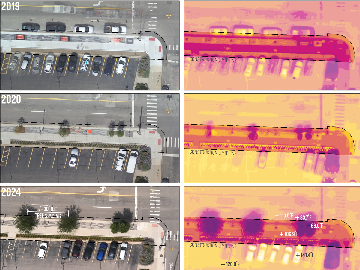
Heat Health: A pre- and 5-year post-occupancy thermal case study
This is not a design solution. It is a case study to inform better design solutions and policy. Novel research uses cutting-edge drone-based thermal visualization to address the heat island effect, which contributes to severe health risks. By combining high-resolution thermal and color imagery, this study reveals how materials and green space impact surface temperatures, offering a precise, scalable method for assessing heat in any setting.