
.webp?language=en-US)
.webp?language=en-US)
Between Line and Land
Hannah Whitlaw, Student ASLA


Impressive in scale and scope and yet focused. The selection of sites and presentation of research reflect a thoughtful curation of data, history, images, and ideas.
Awards Jury
-
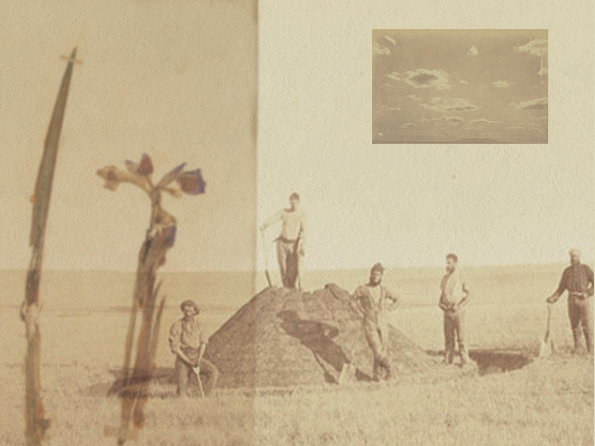
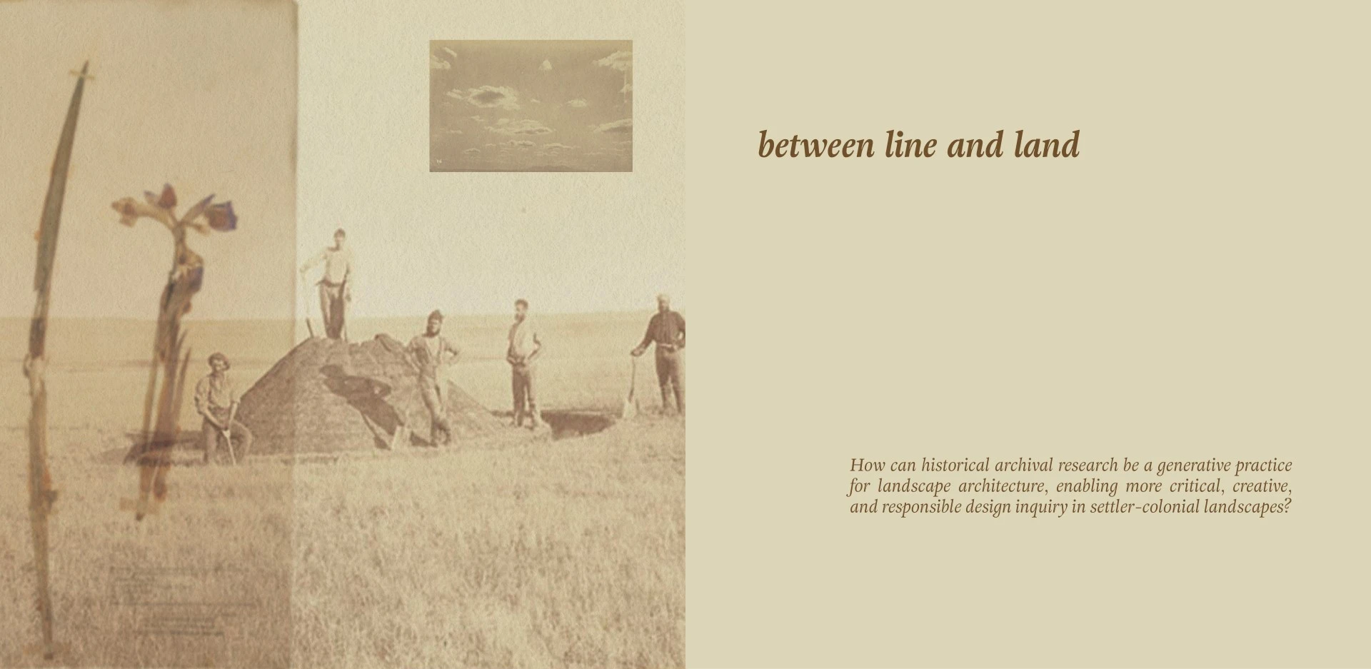
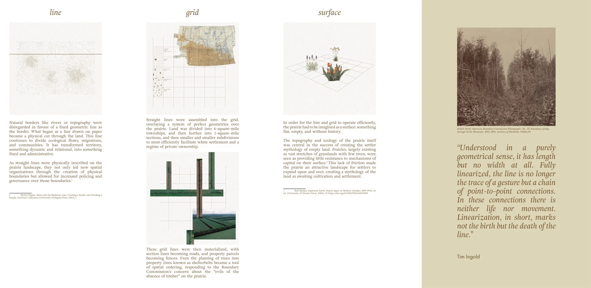
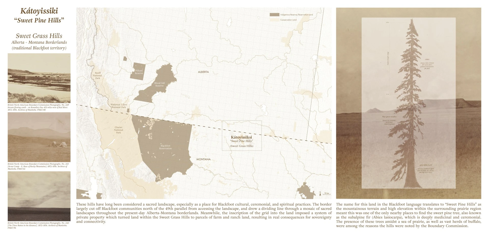
This project uses historical and archival research to examine the enduring impacts of early colonial surveying on Indigenous sovereignty, more-than-human agency, and the organization of prairie land in North America. Working through the primary source, historic archive of the North American Boundary Commission, which between 1872 and 1876 demarcated the Canada-U.S. border along the 49th parallel, the project critically re-reads the colonial archive through drawings, mappings, and a counter-archive assembled from reworked archival fragments. In doing so, it positions historical research as a creative methodology for landscape architecture, opening alternative ways to understand, inhabit, and imagine prairie borderlands today.
-
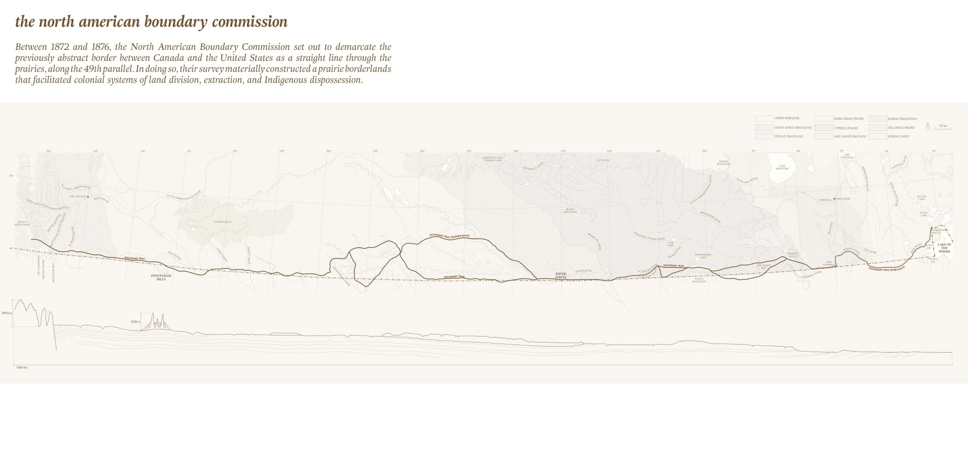
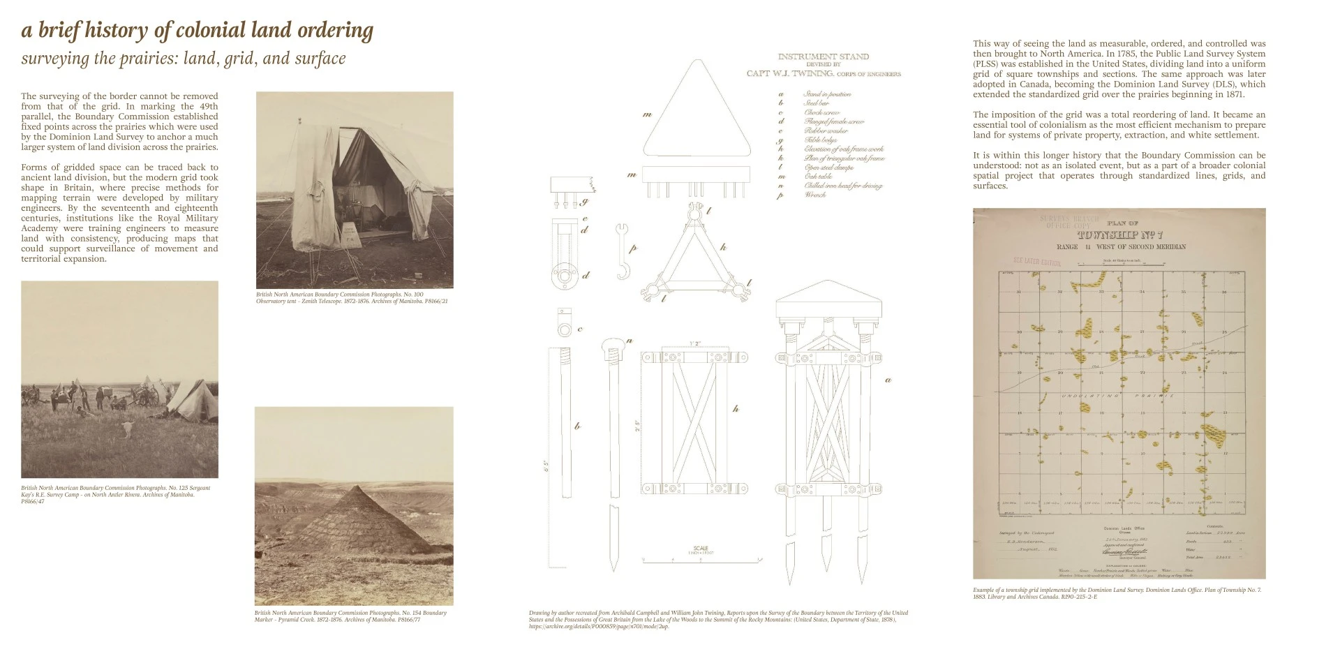
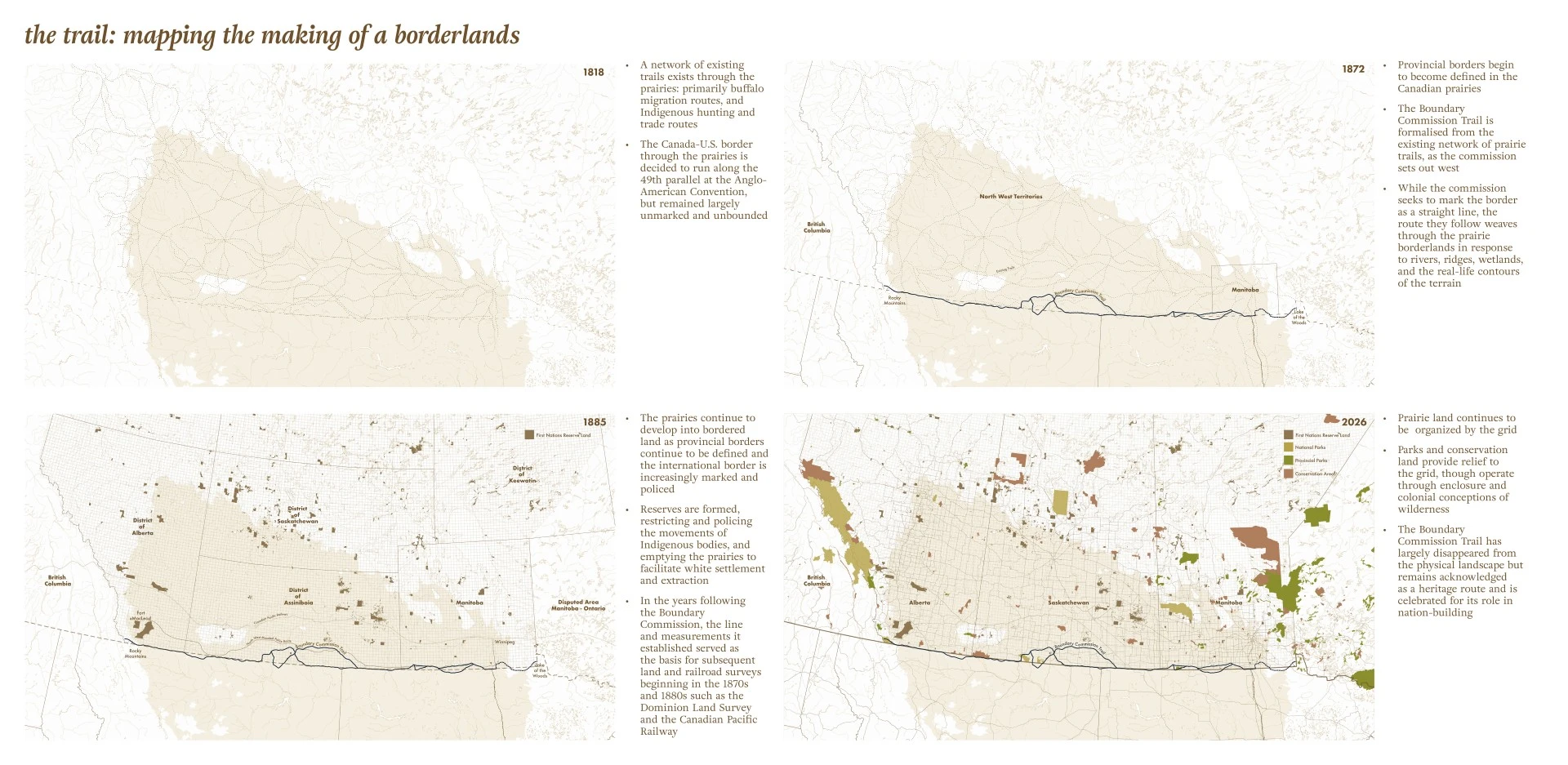
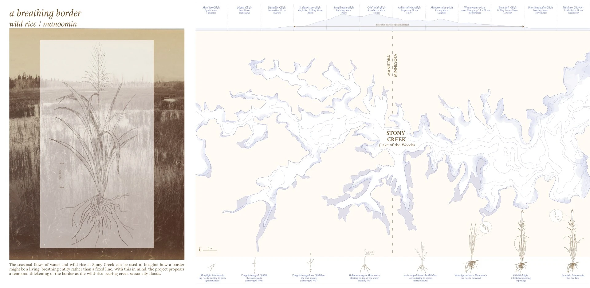
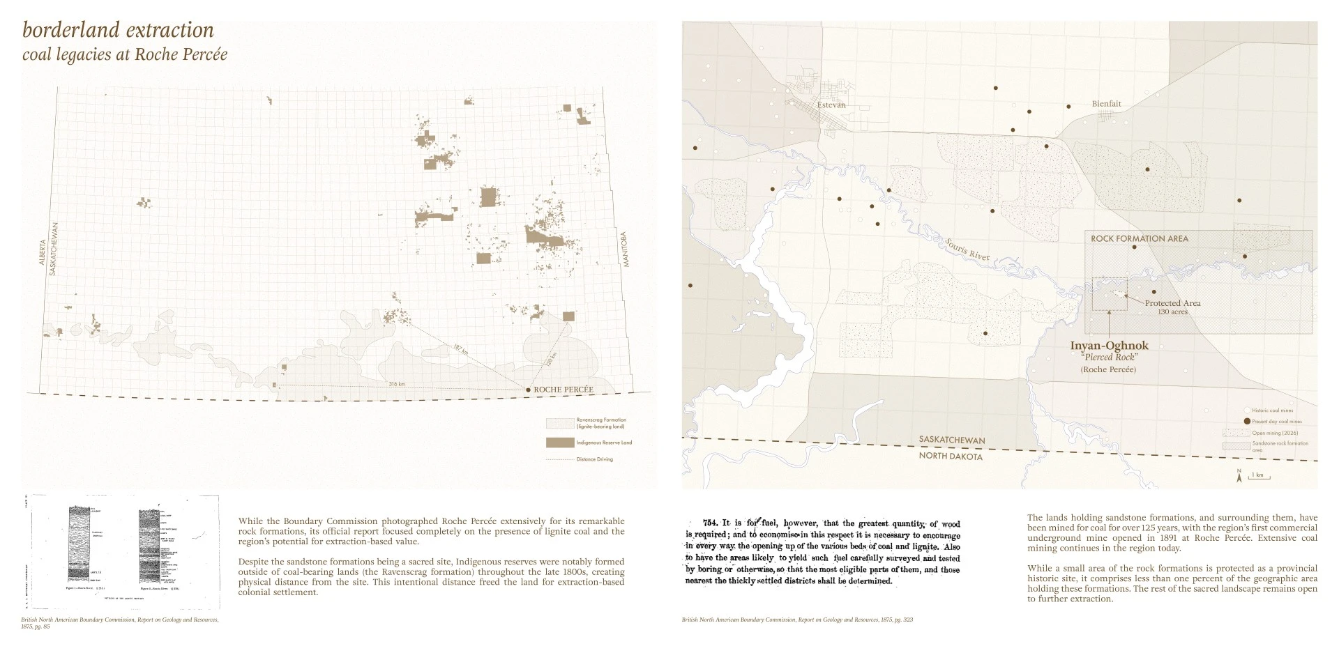
Between 1872 and 1876, a survey crew of roughly sixty astronomers, engineers, photographers, labourers, and Indigenous guides travelled more than 1,900 kilometres across the North American prairies to demarcate the border between Canada and the United States along the 49th parallel. This project investigates how the Boundary Commission transformed an abstract line on a map into a material landscape condition and asks how that line continues to organize prairie borderlands today. The research examines how surveying practices, primary archives, and representations of land contributed to colonial systems of extraction, Indigenous dispossession, and ecological simplification across the prairies, while also asking how historical inquiry may help to reimagine the borderlands.
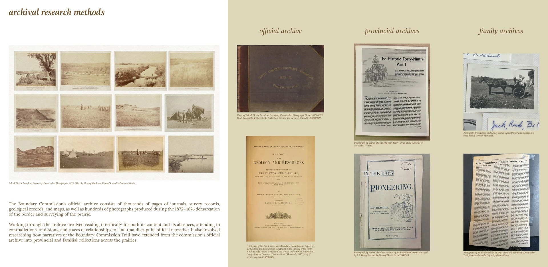
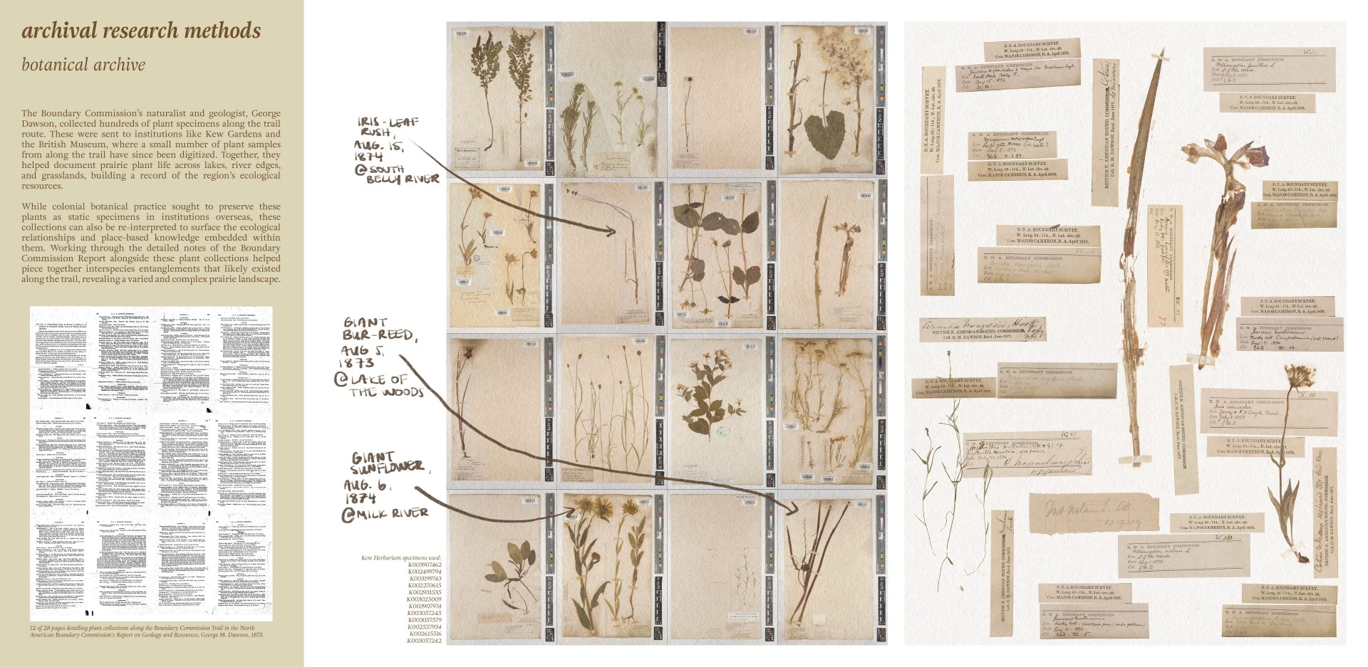
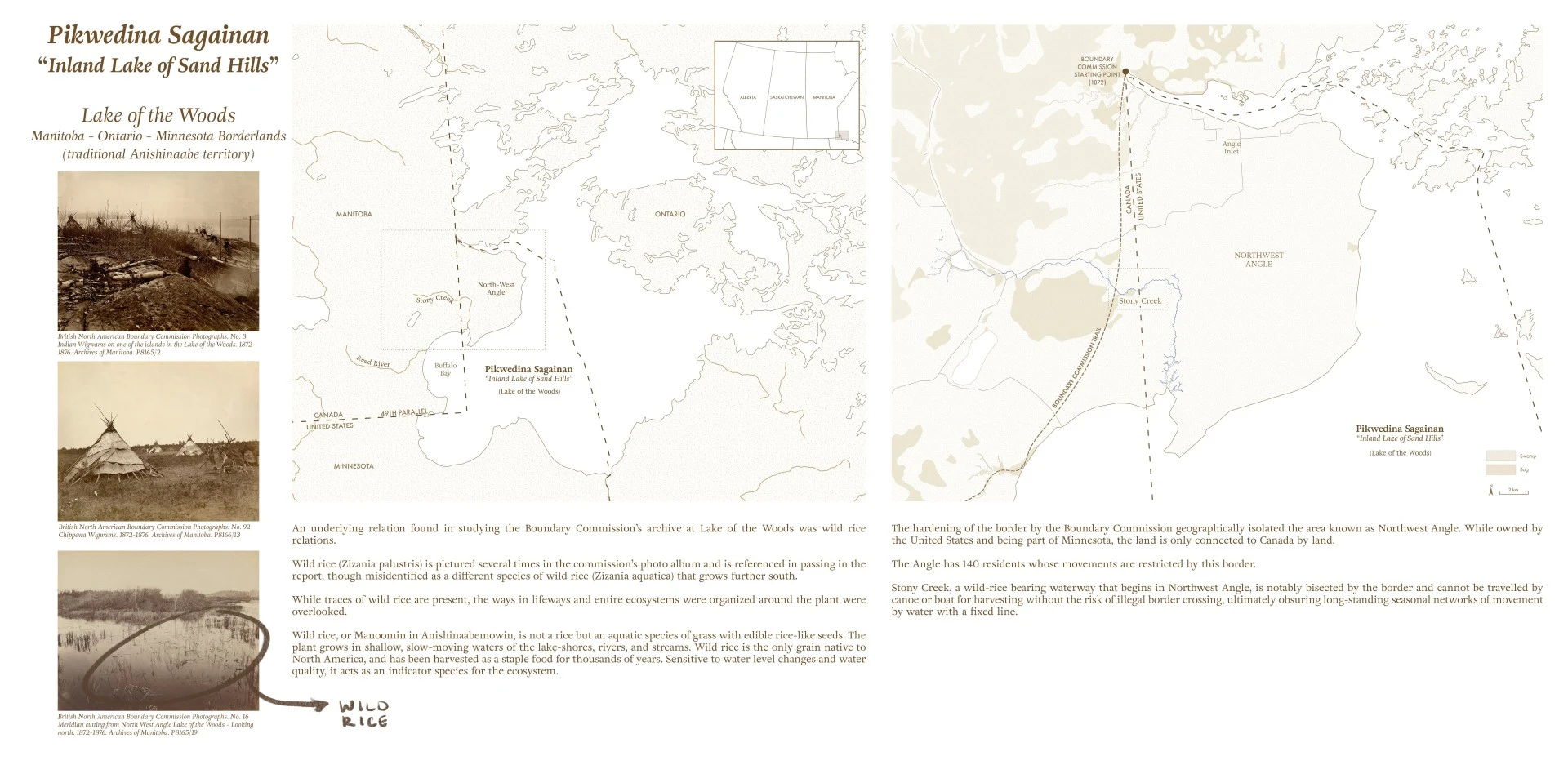
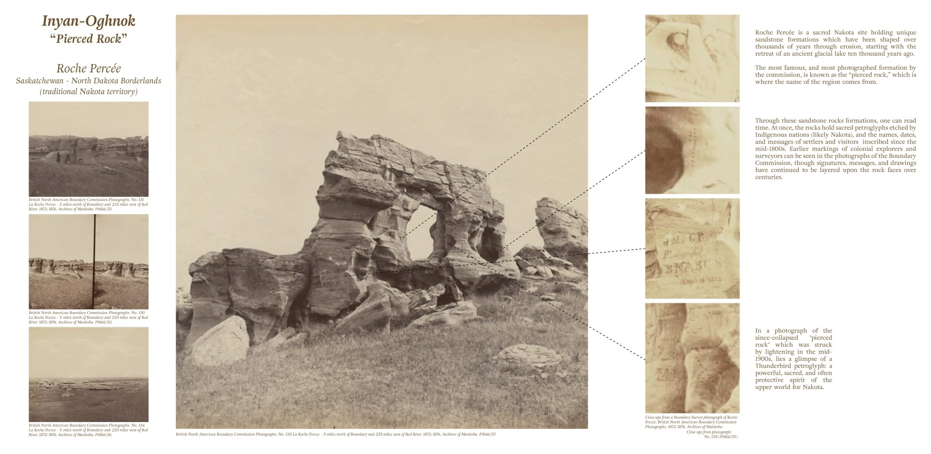
This project positions historical research as a critical design methodology, arguing that responsible and imaginative landscape practice requires engaging the layered, contested, and often suppressed histories of place. Tools of colonial surveying, mapping, and spatial representation are inseparable from those of landscape architecture itself, yet the discipline seldom grapples with how these histories remain embedded within land and continue to shape contemporary landscapes. In settler colonial landscapes, this has allowed the spatial logics of extraction and private property to persist largely unquestioned despite their ongoing social, political, and ecological consequences. A primary method of inquiry was extensive archival research through thousands of pages of Boundary Commission journals, maps, survey records, photographs, and correspondence. These materials were critically cataloged and analyzed recognizing that archives are not neutral but colonial tools that shape what is remembered and whose stories are told. The archival materials were then interpreted not only for what was present, but for absences, contradictions, and traces of alternative relationships to land embedded within the record.
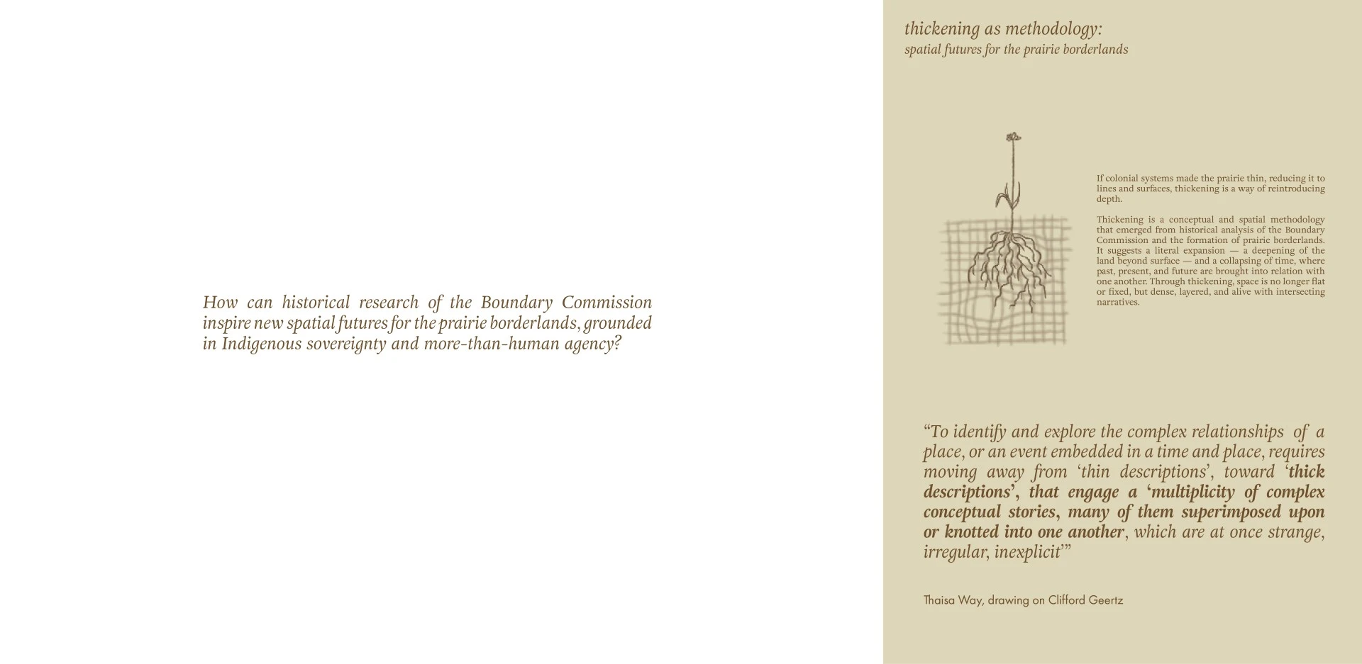
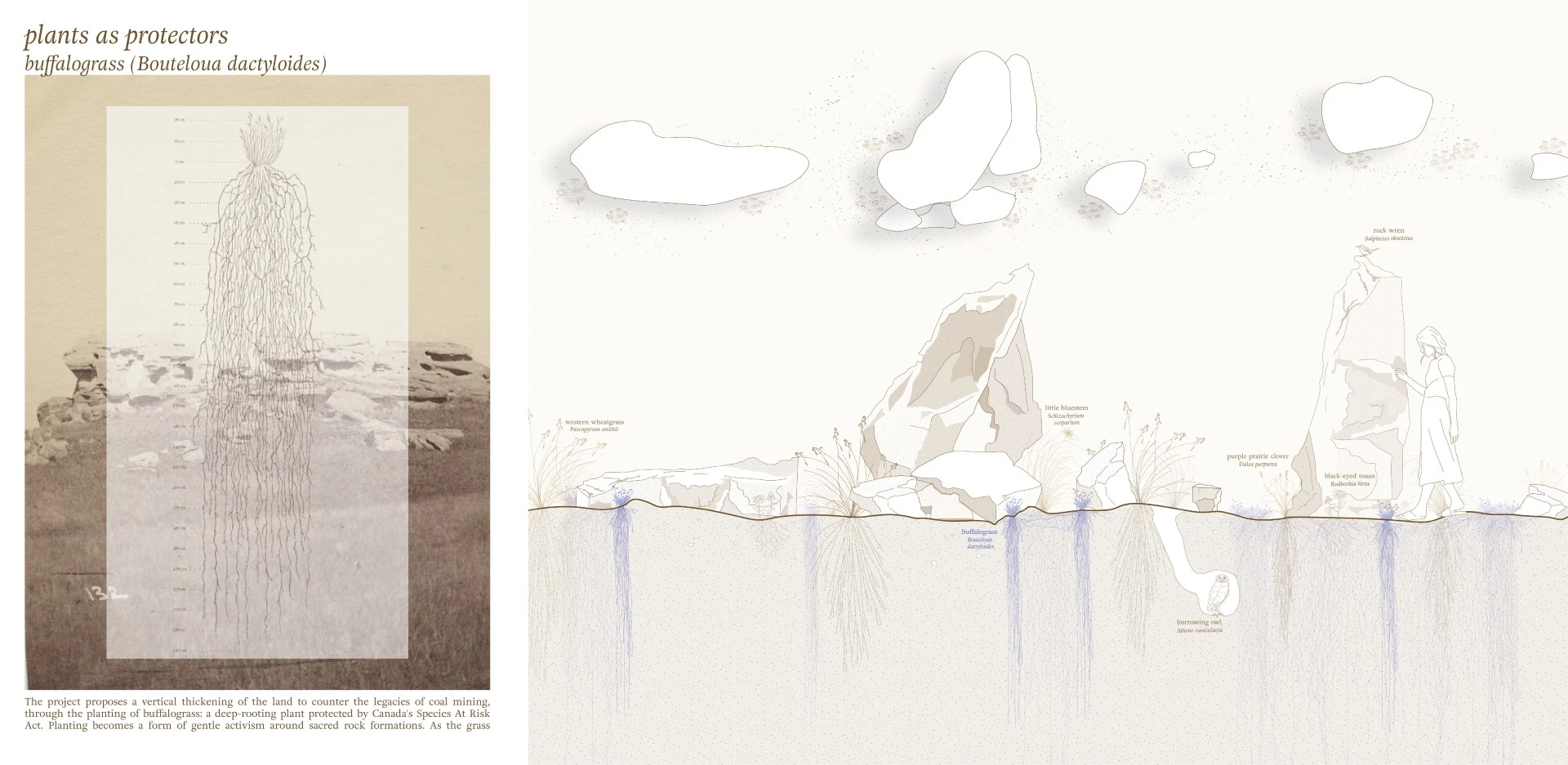
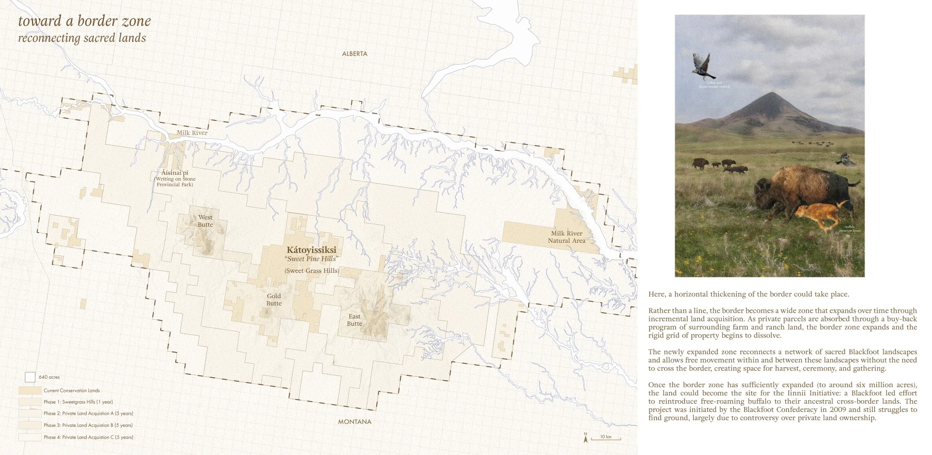
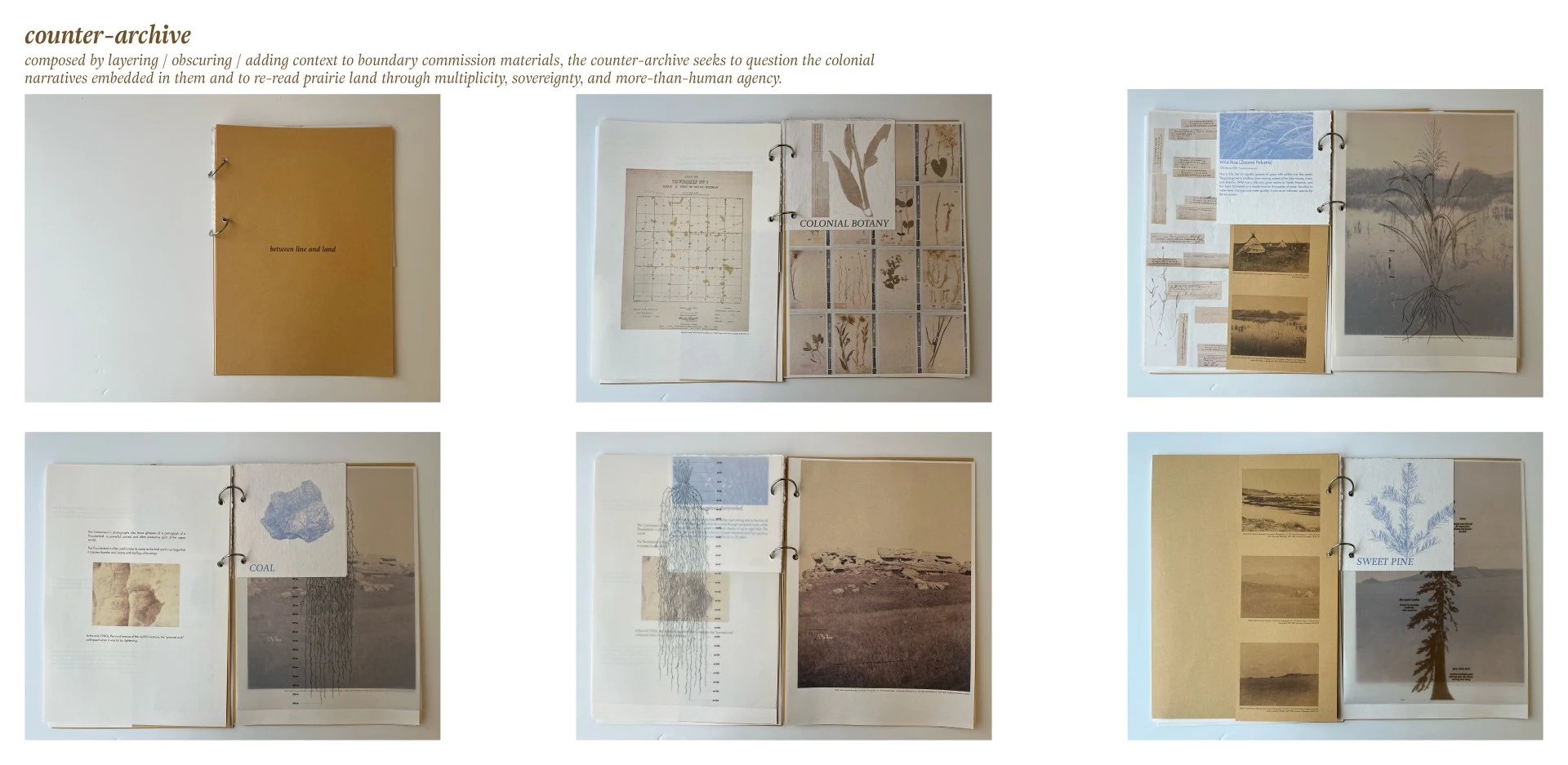
Through drawings, mappings, and layered archival analysis, the project then developed a series of spatial proposals that "thickened" the prairie borderlands beyond the flattened, ahistoric understandings imposed by colonial mapping and surveying. Emerging from this spatial and historical methodology was the construction of a counter-archive: a booklet assembled from fragments of the Boundary Commission archive that were reworked, rearranged, and reimagined to tell a different story about the surveying and formation of the prairie borderlands. By layering relationships and histories obscured within the colonial record, the counter-archive re-reads prairie land through multiplicity, sovereignty, relationality, and more-than-human agency.
The research concludes that historical inquiry is not simply retrospective but generative for contemporary landscape architecture practice. While previous scholarship has examined the political history of the border and western expansion, this project contributes a landscape architectural perspective by focusing on how surveying practices materially reshaped land and spatial imaginaries. It also demonstrates the need for further interdisciplinary research within landscape architecture combining historical inquiry, Indigenous knowledge systems, and spatial practice.
Advertisement
Related Awards
Honor Award, Research
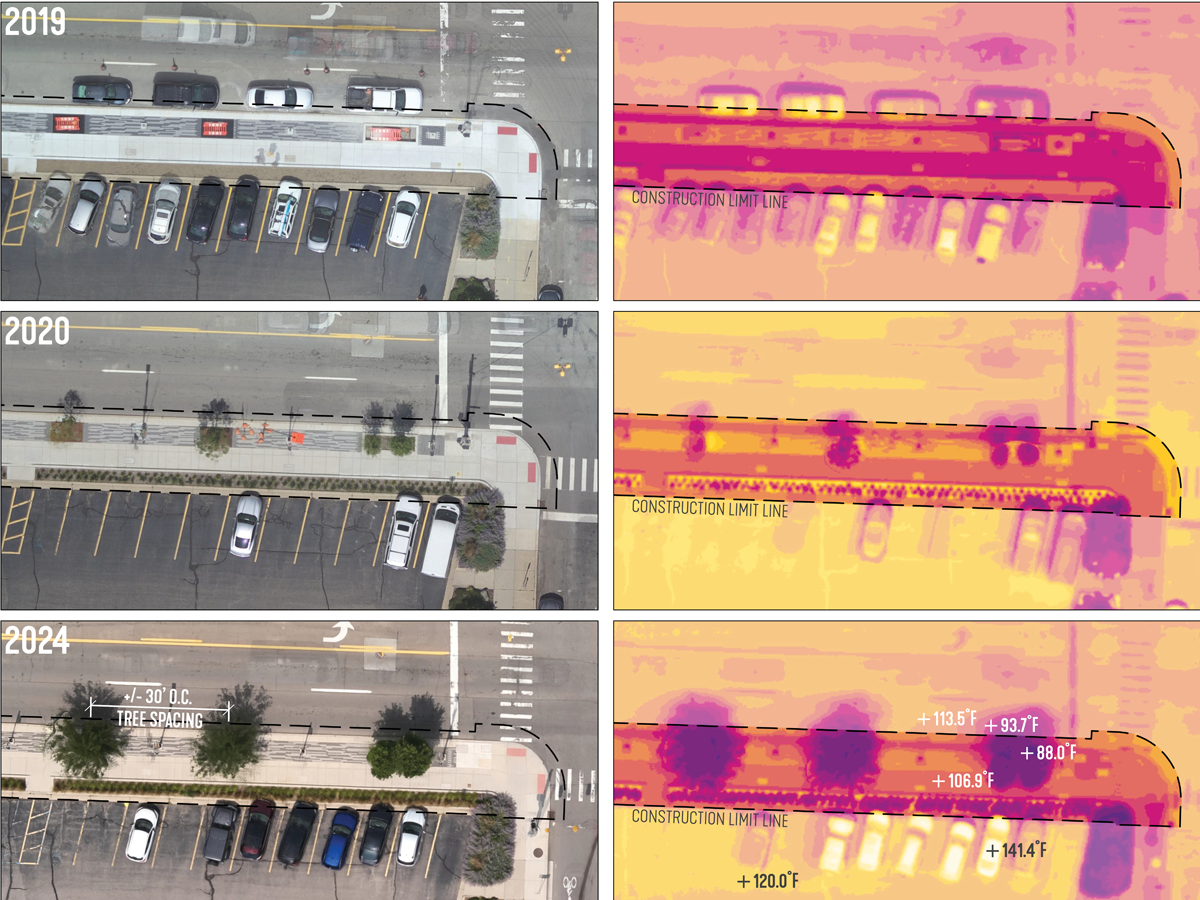
Heat Health: A pre- and 5-year post-occupancy thermal case study
This is not a design solution. It is a case study to inform better design solutions and policy. Novel research uses cutting-edge drone-based thermal visualization to address the heat island effect, which contributes to severe health risks. By combining high-resolution thermal and color imagery, this study reveals how materials and green space impact surface temperatures, offering a precise, scalable method for assessing heat in any setting.