
.webp?language=en-US)


Advertisement
Flooding
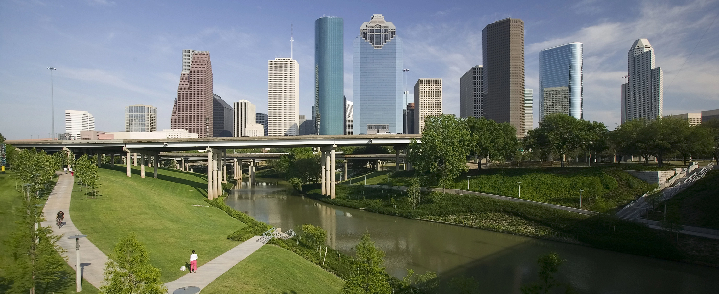
Flooding is the most frequently occurring natural disaster globally. Flooding and other natural disasters displaced more than 32.4 million people in 2012, and since 1995 flooding claimed 157,000 lives globally. Flooding of human settlements has always been a hazard, but risk drivers such as climate change and the location and expansion of cities, coupled with their reliance on impervious surfaces, means floods are impacting more people in more places with greater cost to life and property. The recent extreme flooding in Louisiana is expected to cost $10 to $15 billion. Superstorm Sandy, which hit the northeast in 2012, caused $71 billion in damages.
There are a few common causes of flooding: tidal events; storm surges or heavy rain; or sea level rise. In urban areas, expanses of impervious surfaces, like traditional roofs, streets, and parking lots, further exacerbate flooding. Excess water can then easily overwhelm outdated combined sewer and stormwater management systems, creating major problems for water quality. And long-term, incremental sea-level rise makes all of this even worse, and, on its own, means big changes for coastal communities.
How Resilient Planning and Design Helps
Historically, the solution for those who cannot move to higher ground is to build walls, raise homes up on stilts, or simply rebuild. But flood walls tend to be expensive, obstructive, and subject to catastrophic failure; not all types of development can be raised up on stilts; and rebuilding is costly.
Resilient landscape planning design can help communities live with periodic or even constant flooding, adapting to a new way of life. It’s important that a systems-based approach is used that goes beyond a single project. These systems could be made up of preserved and strengthened ecosystems that act as natural channels and buffers; parks and open spaces that let water flow through safely, or store excess water for later use; and robust green infrastructure systems, including those for transportation networks, that cleanse and absorb flood water, allowing communities to effectively live with more water.
Co-benefits
Preserving ecosystems for flooding control also means preserving their biodiversity and all of the ecosystem services they provide – clean air and water, among others. Parks that move or store water during floods offer spaces for recreation that boost public health. In addition to absorbing water, green infrastructure cleans and cools the air, increases water quality, and recharges water tables.
Role of the Landscape Architect
Flooding is a highly local problem: there are inland and coastal floods; floods caused by storms or sea level rise, floods caused by groundwater or sea water; and floods that have multiple causes. So solutions must be designed for particular conditions. Landscape architects develop multi-use systems that can serve as public spaces and flooding solutions. Landscape architects can deploy their understanding of topography, hydrology, and ecology to create systems that divert, absorb, or capture water. Landscape architects are well trained to work with planners, ecologists, engineers, architects, and others to plan, design and implement these systems.
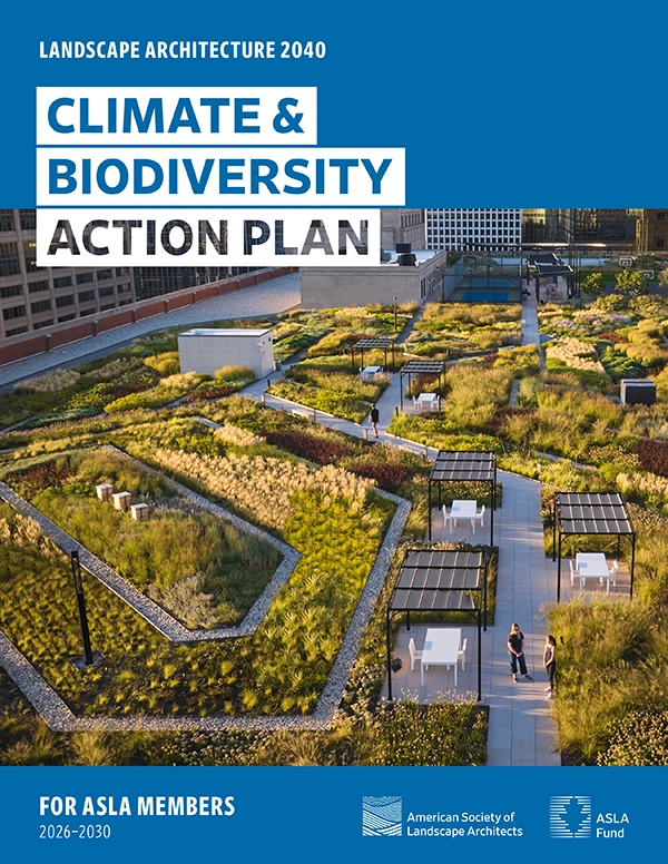
Landscape Architecture 2040: Climate & Biodiversity Action Plan
Empowers landscape architects with bold targets—advancing biodiversity, reducing emissions, increasing sequestration, and delivering climate and biodiversity justice through every project.
Relevant Projects
Flash Flooding and Storm Surge
Bishan Park, Singapore, Ramboll Studio Dreiseitl
Corktown Common, Toronto, Canada, Michael Van Valkenburgh Associates
Rotterdam Water Plaza, Rotterdam, Netherlands, De Urbanisten
Greater New Orleans Urban Water Plan, New Orleans, LA
Mount Tabor Middle School Rain Garden, Portland, OR, Kevin Robert Perry
Toronto Wet Weather Master Plan, Toronto, Canada
Yanweizhou Park, Jinhua City, China, Turenscape
ASLA 2016 Professional Analysis and Planning Award of Excellence. Copenhagen Cloudburst Formula, Copenhagen, Denmark, Ramboll Studio Dreiseitl
Sea Level Rise
Room for the River, The Netherlands
ASLA 2016 Professional Analysis and Planning Honor Award. The Big “U”, New York City, NY, Starr Whitehouse
Hafencity, Hamburg, Germany
Living Breakwaters, Staten Island, NY, SCAPE
Resources
Aqueduct Global Flood Analyzer, World Resources Institute
Cities and Flooding: A Guide to Integrated Urban Flood Risk Management for the 21st Century, Global Facility for Disaster Reduction and Recovery
Coastal Resilience, The Nature Conservancy
Coastal Adaptation Toolkit, Environmental Protection Agency
Flood Maps, Federal Emergency Management Administration
A Queens Park Opens, Already a Storm Survivor, The New York Times
“Living Shorelines” Will get Fast Track to Combat Sea Level Rise, Scientific American
Rebuild by Design, Rebuild by Design
Sea Level Rise Viewer, NOAA Office for Coastal Management