Neighborhood
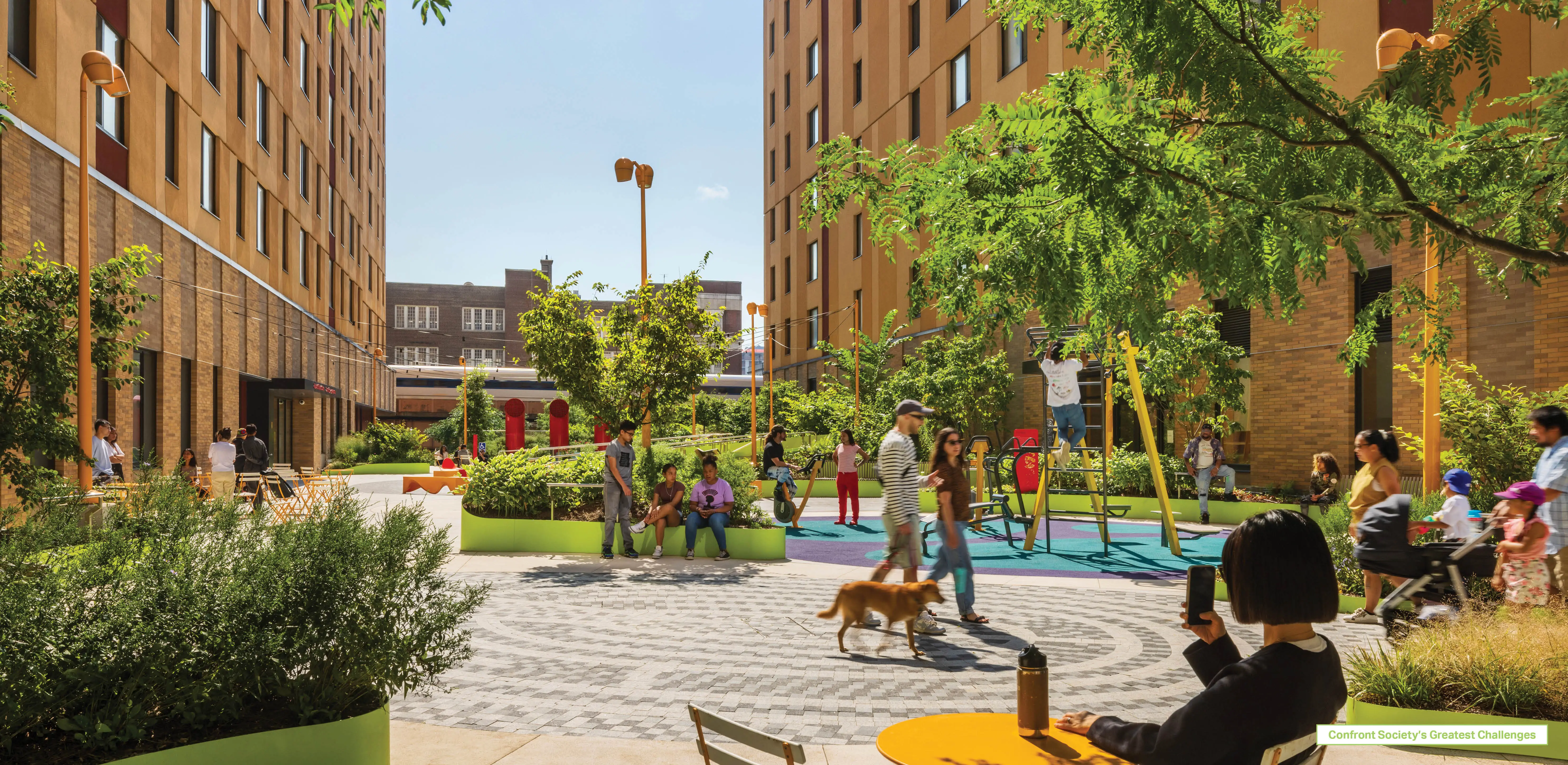
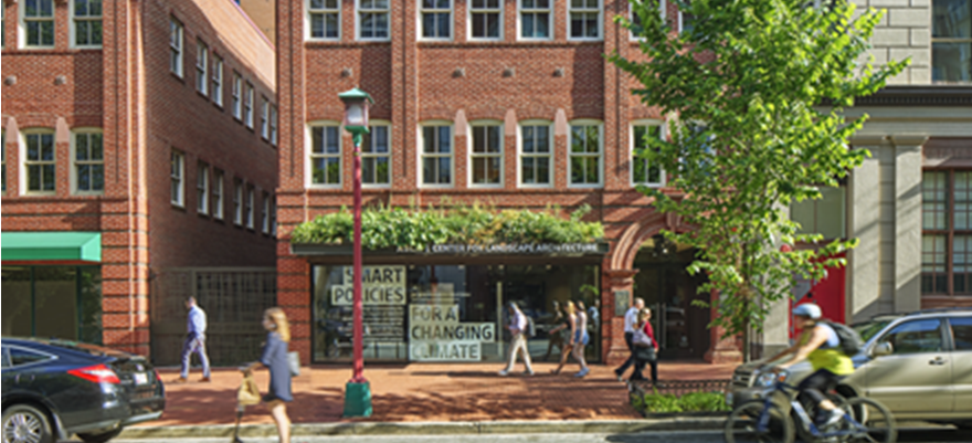
Neighborhoods are where families and friends spend time together, children grow up, adults grow older, and communities thrive. Today, however, too many neighborhoods are built for cars instead of people. The National Physical Activity Plan gives America an “F” rating for pedestrian infrastructure, and in a survey found that 32 percent of respondents did not have any sidewalks in their neighborhood. Meanwhile, pedestrian fatalities are currently at a 25-year high, even as other means of travel are getting safer.
Transportation infrastructure in neighborhoods should create safe spaces for recreation, relaxation, and civic activity and provide walkable and bikeable connections to parks, schools, commercial areas, and transit.
Sidewalks, bike lanes, sidewalk bump-outs, crosswalks, and narrow automobile lanes create safe, walkable neighborhoods that prioritize the pedestrian over the car. In Europe, some neighborhoods feature woonerf or "home zone" streets where cyclists and pedestrians have the primary right of way. Research shows these approaches to street design reduce vehicle speeds, improve safety, and increase neighborhood socializing and community activity.
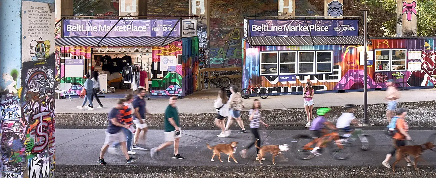
Neighborhood transportation networks should connect to local parks, community centers, and public areas, further encouraging active, healthy lifestyles. Separated biking and walking trails and linear parks can provide another viable transportation option. Neighborhood bike share programs can provide a flexible and convenient first mile/last mile connection to mass transportation.
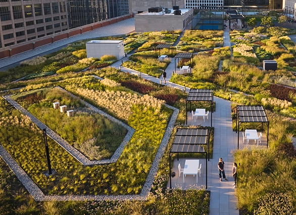
Neighborhoods should be green, shaded, and densely planted with street trees and native perennial plants. Complete green streets filter stormwater runoff and help to mitigate flooding in extreme weather scenarios. Native trees and perennials provide habitat and food to local wildlife and pollinators, bolster local biodiversity, and recover more readily from natural disasters and disturbance than conventional ornamental plants.
Transportation infrastructure can connect and empower communities, but it can also divide them. Large-scale infrastructure should be routed to avoid dividing or destroying neighborhoods or removing valuable open space and parkland.
In some areas, communities are reclaiming the spaces formerly occupied exclusively by transportation, building parks above or below freeways to create vibrant new public spaces. Examples include Klyde Warren Park in Dallas, Texas; Underpass Park in Toronto, Ontario; Buffalo Bayou Park in Houston, Texas; and Freeway Park in Seattle, Washington. These parks offer a vision of how creative design solutions can strengthen communities and restore historic neighborhoods connections.
Transit-oriented development (TOD) remains a viable working model for creating walkable, active, convenient, and environmentally-friendly communities. Special care should be taken, however, to ensure that TODs include meaningful amounts of affordable housing and do not contribute to the displacement of existing or nearby residents. Walkable access to public transportation and mixed-use areas, key features of TOD, reduces vehicle miles traveled and increases walking, making for healthier and more sustainable neighborhoods.
Organizations
National Recreation and Parks Association
Pedestrian and Bicycle Information Center
Reconnecting America, Center for Transit-Oriented Development
Resources
Accident-Zone: Poorer Neighborhoods Have Less-Safe Road Designs, Scientific American, May 3, 2012
Designing for Active Living (Animation), American Society of Landscape Architects
Growing Movement: Age-Friendly Communities, The Dirt blog, May 30, 2018
How to Develop a Pedestrian and Bicycle Safety Action Plan, U.S. Federal Highway Administration, August 2017
Loveable Places Are Sustainable, The Dirt blog, March 4, 2014
This New Car-Free Neighborhood Redesigns Suburbia, Fast Company, April 27, 2016
Neighborhood Street, Urban Street Design Guide, National Association of City Transportation Officials
Residential Shared Street, Urban Street Design Guide, National Association of City Transportation Officials
Safe Routes to Schools National Partnership
What Is Shared Space?, Project for Public Spaces
What Benefits Older People Benefits Everyone, The Dirt blog, June 12, 2013
Research
Analysis of Transit-Oriented Development (TOD) in Washington, D.C. and Baltimore Metropolitan Areas, Arefeh Nasri and Lei Zhang, Transport Policy, March 2014
Case Studies in Delivering Safe, Comfortable, and Connected Pedestrian and Bicycle Networks, U.S. Federal Highway Administration
Dangerous by Design, Smart Growth America and the National Complete Streets Coalition, January 2017
Many Pathways from Land Use to Health: Associates Between Neighborhood Walkability and Active Transportation, Body Mass Index, and Air Quality, Lawrence D. Frank, James F. Sallis, Terry L. Conway, James E. Chapman, Brian E. Saelens, and William Bachman, Journal of the American Planning Association, 2006
Travel Propensity in TODs vs. Non-TODs: Using Cluster Analysis and Propensity Score Matching, Keunhyun Park, Reid Ewing, Brenda Case Scheer, Shabnam Sifat Ara Khan, May 11, 2018
The Woonerf Concept: Rethinking a Residential Street in Sommerville, Natalia Collarte, 2012
Projects
Baton Rouge Lakes: Restoring a Louisiana Landmark from Ecological Collapse to Cultural Sanctuary, Baton Rouge, LA
SWA Group in association with CARBO Landscape Architecture
Klyde Warren Park, Dallas, TX
OJB Landscape Architecture
Fitzgerald Revitalization Project: Landscapes as the Framework for Community Reinvestment, Detroit, MI
Spackman Mossop Michaels
MassArt Residence Hall, Boston, MA
Ground Inc.
Penn Connects: A Vision of the Future, Philadelphia, PA
Sasaki Associates
Underpass Park, Toronto, ON
PDF Studio

.webp?language=en-US)
